Abstract
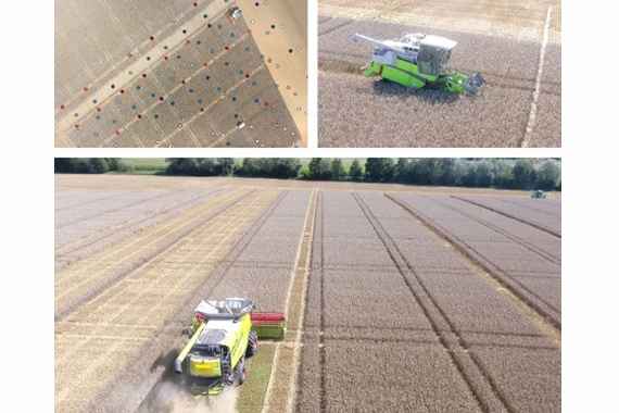
While the importance of precision farming increasing globally, in Austria currently only 6% of farmers use such technologies. Major obstacles include high acquisition costs and the lack of ICT know-how, in particular for small or family farms. However, there is considerable economic and ecological potential in the use of precision farming technologies: resources (e.g., fertilizers, pesticides, fuel) can be used more efficiently and thus environmental impacts can be reduced. Therefore, the project GIS-ELA aims to strengthen the use of such technologies in Austrian agriculture. For this purpose, methods for the generation and use of yield potential and application maps based on various data sources are being developed in close cooperation with pilot farms. The goal is to create practicable instructions and apps for the implementation of site-specific management without depending on expensive equipment.
| Duration: | 01/2018 – 12/2020 |
| Partners: | Kooperation GIS-ELA: Landwirtschaftskammer Niederösterreich (LKNÖ), 8 landwirtschaftliche Pilotbetriebe aus 4 Bundesländern |
| Funded by: | Europäische Innovationspartnerschaft „Landwirtschaftliche Produktivität und Nachhaltigkeit“ (EIP-AGRI) / Bundesministerium für Nachhaltigkeit und Tourismus |

