Abstracts
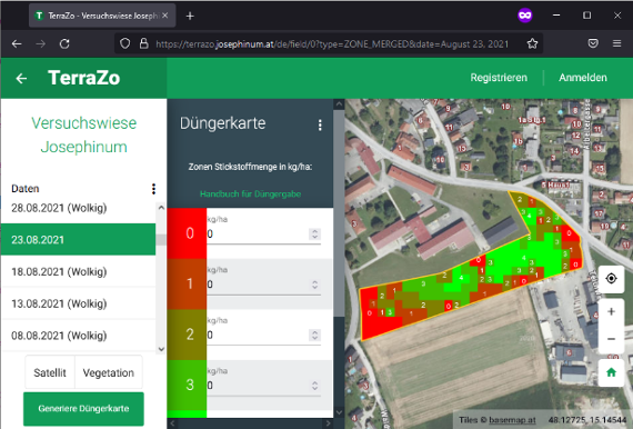
The project targets to develop and enhance a service for creation of application maps like fertilizer maps considering subareas (site-specific management). Satellite images from the ESA Copernicus-program are acquired, processed and enhances with models to create individually adaptable and resilient maps. This service should be available to farmers and third-party providers of application maps for free.
| Duration: | 10/2018 - 10/2022 |
| Partner: | - |
| Funded by: | Land Niederösterreich |

